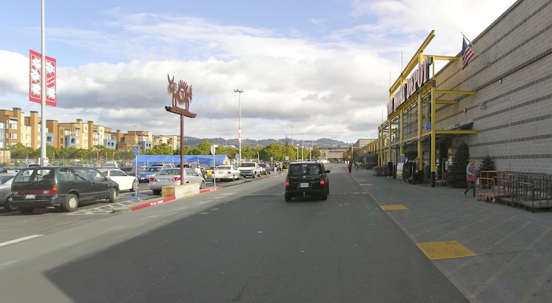
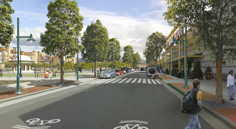
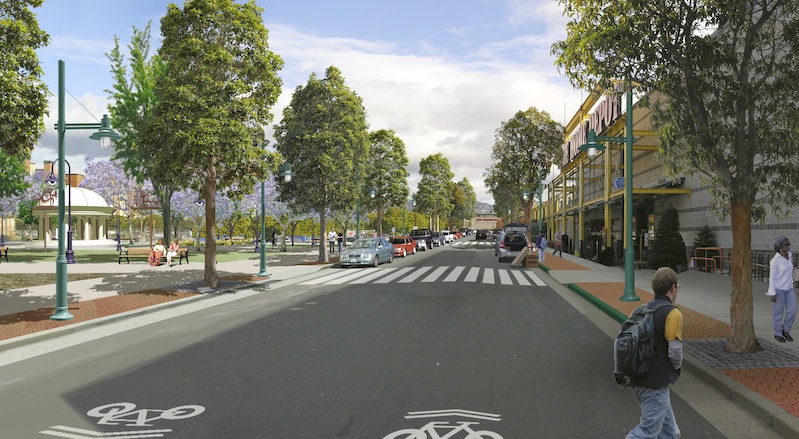
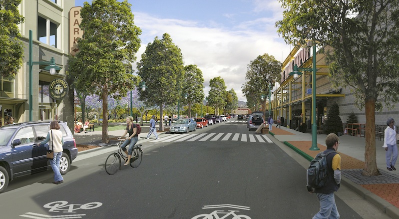
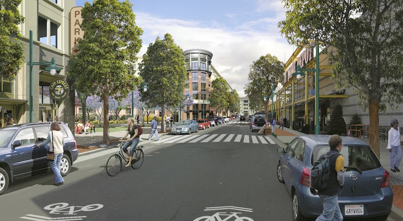
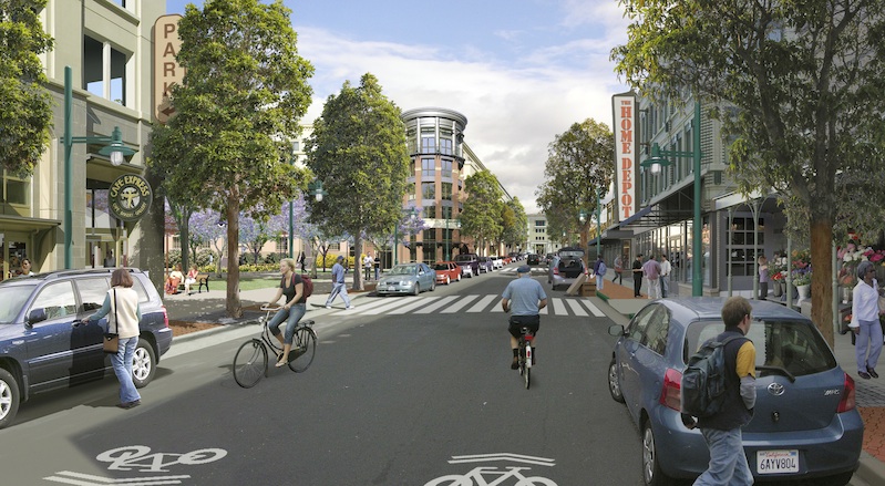
People need realistic pictures to understand development options. Using photo-editing and 3-D modeling software, we create seamless photo simulations that realistically show how revitalized urban and suburban places might look. More images are available through the Urban Advantage website.
Starting with a photograph of existing conditions, we can insert buildings and trees into the view, improve conditions for pedestrians, place public transit infrastructure, and inhabit the view with people.
The results are before-and-after sequences: existing conditions photographs, two to three intervening step images, and final complete visions. The images in the sequences — existing conditions and transformed views — are designed to be in perfect registration so that changes between the steps are easily discernible.
A simulation of change from a static vantage point that morphs from before to after gives the viewer a deep understanding of the components of change — the impact of streets trees, the viability of transit, the significance of street geometry, and how the changed environment could better respond to human needs.
Also, the viewer can see how coordinated investments, both in the public right-of-way and on adjacent properties, can give benefit to both public and private interests. The viewer can also easily imagine the experience of being in the environment and assess the cumulative impact of development stages. And since the images are assembled in Photoshop, the components of the landscape — trees, buildings, street lamps, etc. — can be changed on their separate layers in response to community and designers’ input. In fact they can be working documents revisited and revised over weeks, months or years.
Read full coverage of Bay Area smart growth in the San Francisco Public Press Summer 2012 print edition, on sale at retail outlets around San Francisco and online.