Guest Opinion
Oakland announced Thursday a plan to shut down 74 miles of roadways to through traffic, creating a network of “slow streets” to provide residents a reliable and safe way to practice social distancing while walking or biking. It joins a growing list of cities, from Bogota to Denver, where cycling and walking are prioritized through creating car-free and car-limited spaces. It’s good policy and should be part of the COVID-19 pandemic response in cities everywhere.
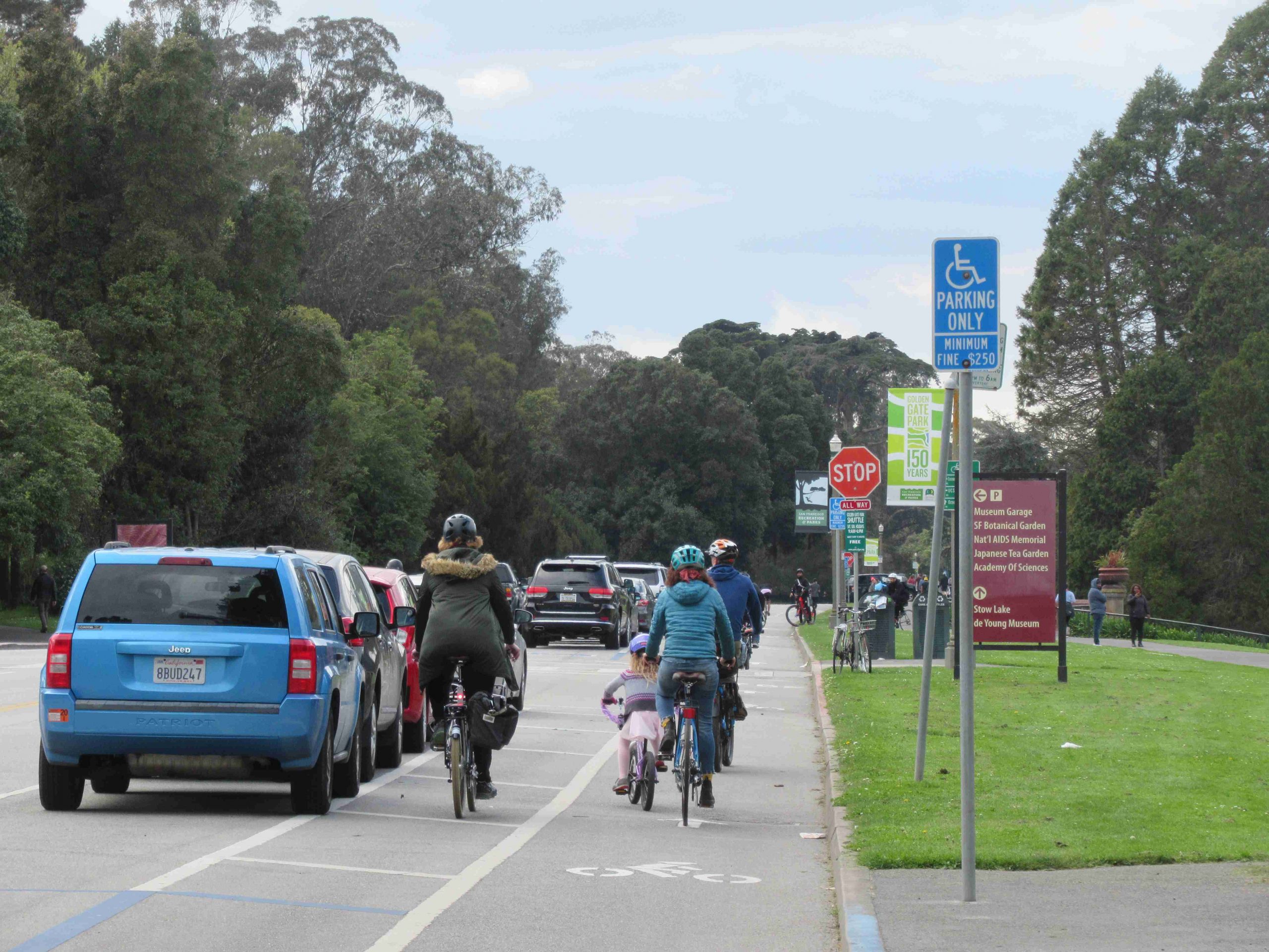
Mysteriously, San Francisco stands out as a laggard. When advocates pleaded weeks ago for the City to make John F. Kennedy Drive car free, the city was dismissive, arguing that it would encourage people to gather in Golden Gate Park. So, the street remains dominated by through traffic and parked cars, with people crowding on narrow bike lanes and sidewalks. It’s shameful.
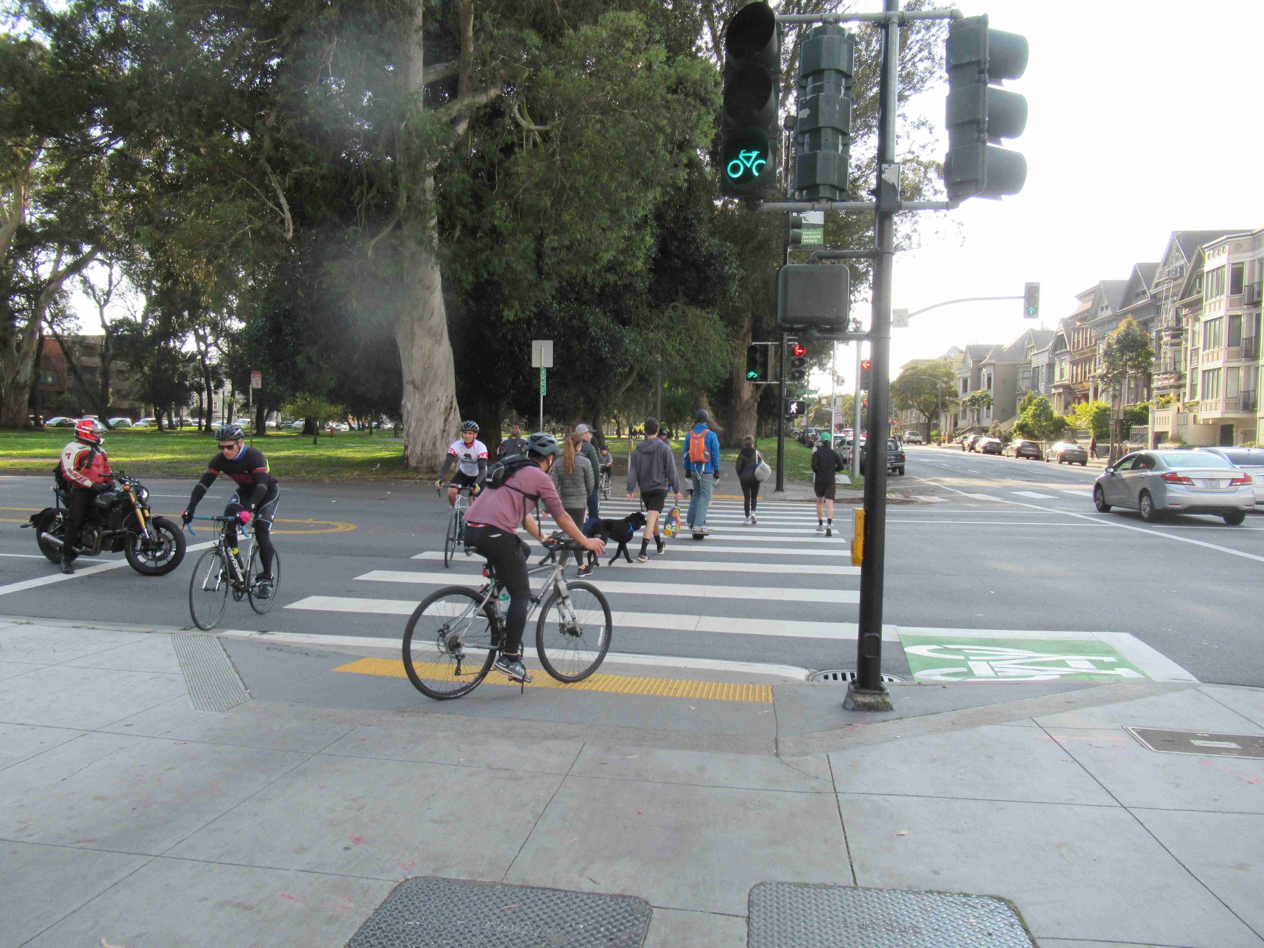
San Francisco’s rejection of a car-free JFK exposes narrow thinking at City Hall. If JFK attracts crowds, this shows us that we need more space for safe and reliable social distancing – not less. To discourage people from concentrating together, the city should implement a comprehensive, connected, citywide network of social distancing routes so that people can spread out when making essential trips, exercising and walking their dogs. With deep cuts to Muni, this system of social distancing routes is even more necessary.
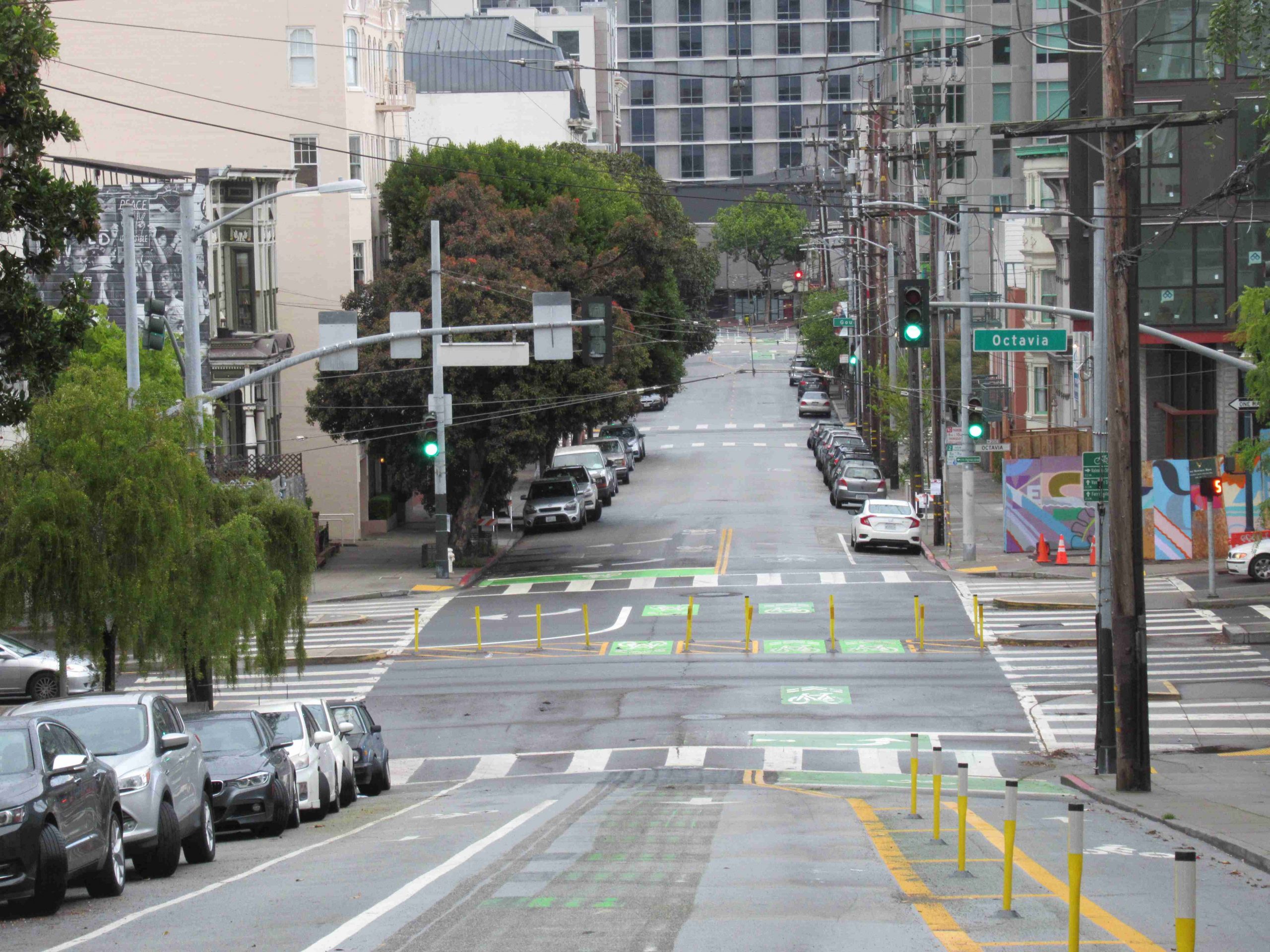
Page Street in Hayes Valley is an excellent example of what can be done quickly. This neighborhood street, popular for cyclists and pleasant to walk with safe distancing, was once choking on chronic congestion, with drivers using the street as an on-ramp to the Central Freeway via Octavia Boulevard. In February, just before the state of emergency, the city deployed flexible “soft hit” posts, a few gallons of fresh paint and new signs to transform four blocks of Page into a safe cycling and walking street. Car-owning residents on Page still have access, so it is car-light, not car-free.
The kind of nimble and quick improvements deployed on Page can be replicated throughout the city to create a connected network of social distancing roadways. For an obvious start, the Page Street model should be extended westward along the full length of the street, providing a straight route from Market Street to Golden Gate Park.
In this kind of configuration, cyclists can keep safe distances when passing, and with fewer cars and a slower pace, pedestrians can take to the street to allow others safe passage on sidewalks. Removing some on-street parking and using cones, soft-hit posts and other tools could allocate more of the street to safe social distancing. Temporary diverters, such as the ones at Page and Laguna and Page at Webster, can be erected to restrict through traffic and high speeds.
There are many suitable candidates for a network of social distancing routes modeled on Page Street, and ideally a grid crisscrossing the city ought to be created. The famous “Wiggle” route from the Mission to the Lower Haight will be important. We’ll need east-west routes like Grove, Post and 22nd in the Mission connecting medical centers, or Valencia and Laguna as north-south connectors. The city’s map for the bicycle network can be a guide. Grove stands out as an obvious candidate in Hayes Valley and Civic Center and 34th and 20th avenues stand out in the Sunset.
We should also commandeer lanes on wide arterial streets for safe social distancing. In the Sunset, there’s already political support to make the Great Highway car free. Lanes on the Embarcadero through North Beach and to SOMA can be made car free. Car-free lanes can be allocated on Third Street from downtown to the Bayview. The same can be done for Stockton and Columbus in North Beach and Chinatown, and Folsom Street in SOMA. Upper Market Street should have wide social distancing lanes into the Castro.
The city can relieve crowding on the Panhandle with separated cycle tracks on Fell and Oak, and if the concern about gathering on JFK is sincere, put social distancing lanes on Lincoln and Fulton along both sides of the park. Arguello, spanning Golden Gate Park to the Presidio, is prime for social distancing lanes.
On the south side, social distancing routes should pivot from the Balboa Park BART station and connect to City College and San Francisco State University. Ocean and Holloway avenues are candidates, and Geneva Avenue should be repurposed eastbound to Bayshore Boulevard. Cayuga Avenue in Mission Terrace would provide part of a north-south social distancing route.
No one knows how long this pandemic will last, but there will be no abrupt return to normal. During a slow recovery, blindly jamming the city with private cars is foolish. San Francisco could not physically absorb hundreds of thousands of cars before the pandemic. Now, it can and must act boldly and decisively to reclaim the streets – at least some of them – for the people. There has never been a more urgent or opportune time to reimagine our public streets and provide for public health.