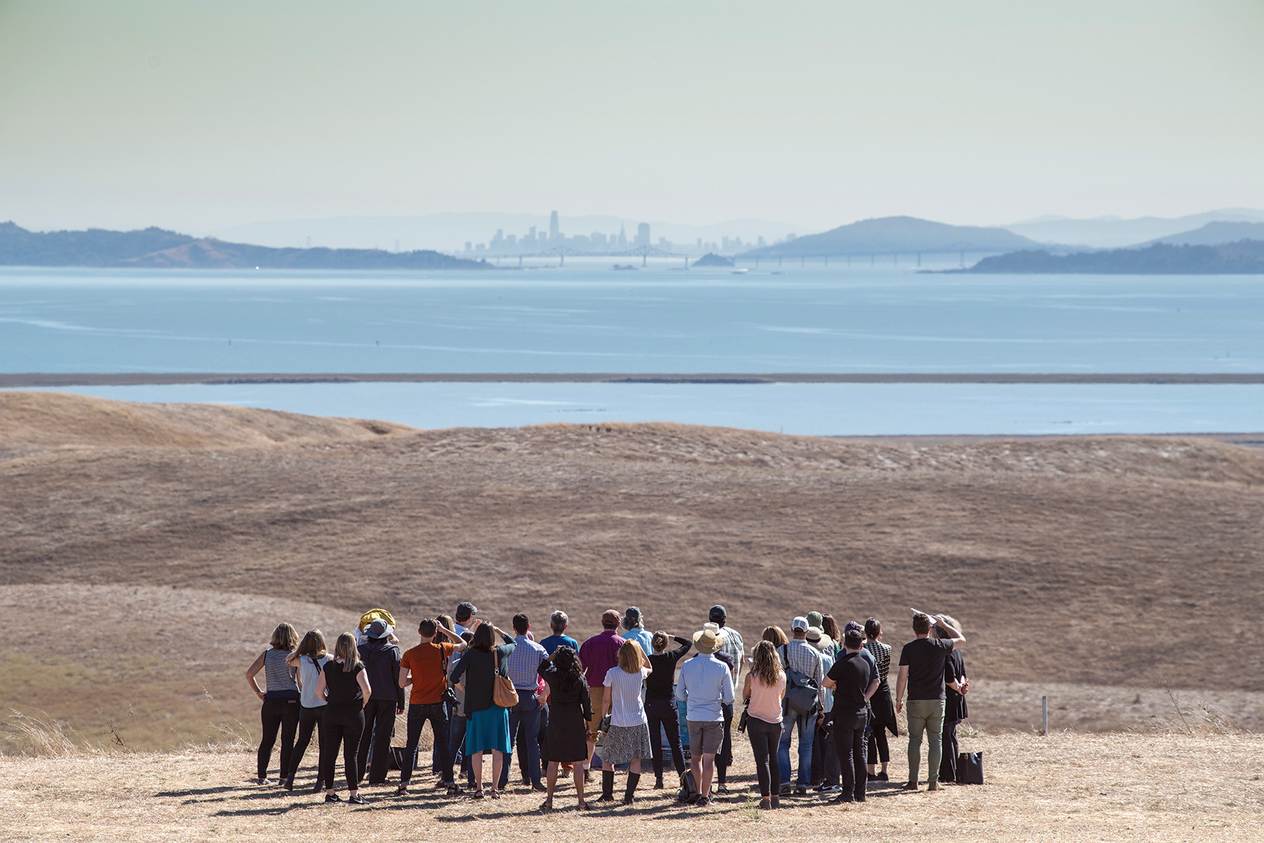
By Zach St. George, Bay Nature
On October 29, 2012, Hurricane Sandy washed into the eastern United States. The storm killed 191 people, razed much of the Jersey Shore, flooded part of Lower Manhattan, and damaged or destroyed 600,000 homes. All told, it caused something like $65 billion in damage and economic loss. Sea level rise alone wasn’t responsible for the destruction, but sea level rise made it worse.
Since 1900, the world’s oceans have risen about 8 inches, due both to thermal expansion of the warming waters and to meltwater from glaciers and the Greenland and Antarctic ice sheets. The scientists of the United Nations’ International Panel on Climate Change estimated that by the end of this century, the waters might rise 3 more feet and quite possibly more than that. Higher water means bigger surges during storms, which push masses of water ahead of them. Surveying Sandy’s wake, federal and state officials realized that rebuilding the coast as it existed before the last storm wouldn’t help prepare it for the next one.
Read the complete story at Bay Nature.
For additional information on this issue, read the San Francisco Public Press special reports on sea level rise.


